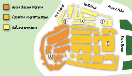
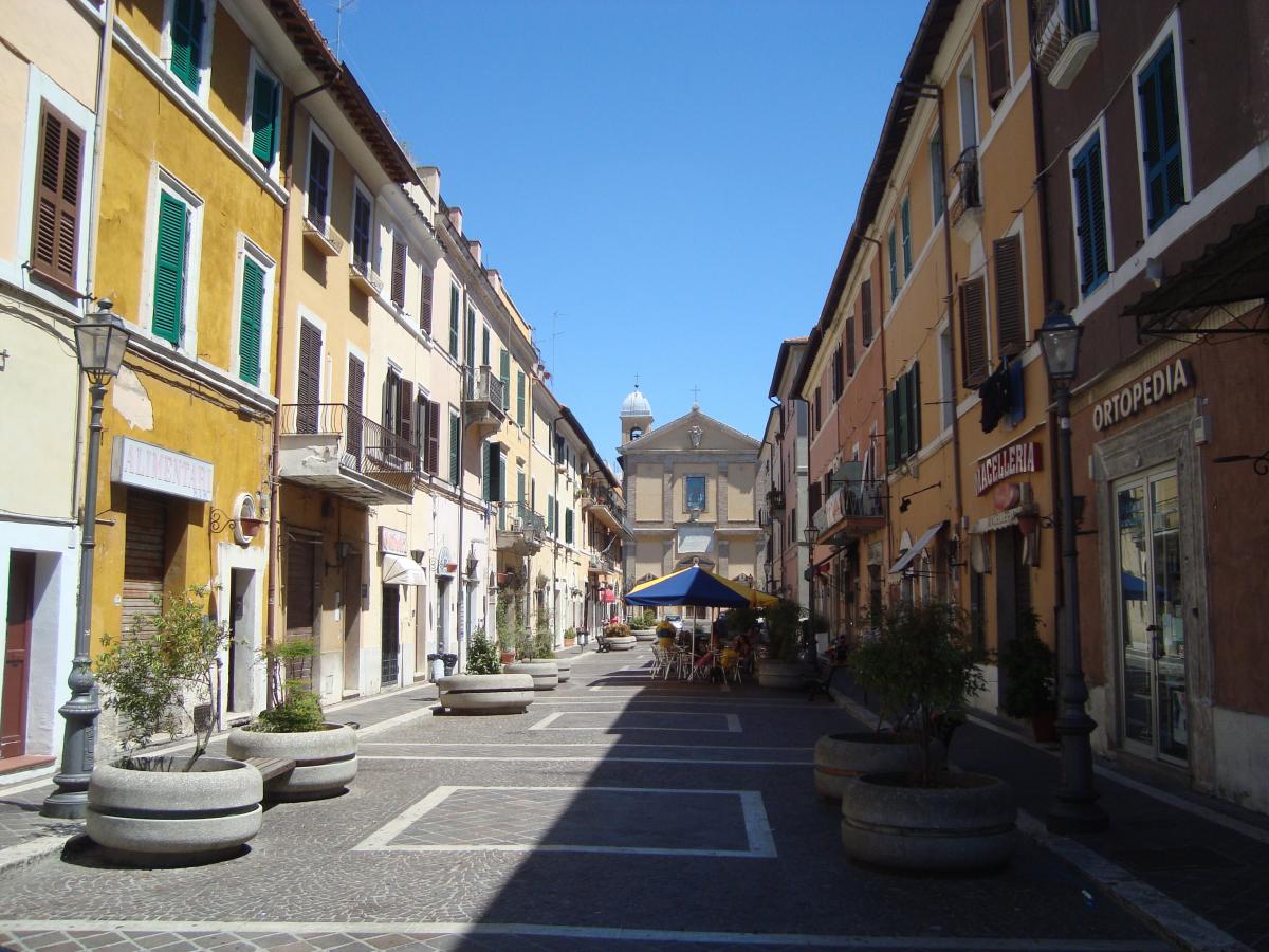
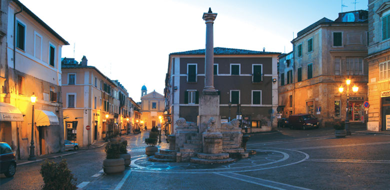
Historic center
The name Monterotondo derives from topography of the place of the first settlement: a rise by the circular shape was chosen because it suitable to defense.
The first documents mentioning a place called Campum Rotundum or Mons Rotundum date back to the years 1012-1013 and attest to the donation of certain assets to the abbey of Farfa.
The hypothesis often quoted in the local press that wants Monterotondo to to descend from Eretum is, however, devoid of any scientific basis and refers to a tradition of local mold. Archaeological excavations conducted by the National Research Council and by the Superintendence for Archaeological Heritage of Lazio have grouted any doubts about the place of identification of ancient Sabine city of Eretum that was located in the municipality of Montelibretti, Casacotta hills, just to north of Monterotondo.
A visit of the historic center of Monterotondo allows the visitor to appreciate important evidence of the evolution of city planning. From the maps of the center you can, in fact, still discern the first nucleus medieval building, with the route of the streets curvilinear, which developed around the now disappeared church of St. Hilary. Different, however, is the expansion three-fifteenth century, when the roads have a regular route consists of a grid of parallel streets cut transversely by smaller streets and alleys.
Worthy of note are some portals adorned with the emblem of the powerful Orsini family or decorative motif of profferli.
Easily distinguishable is also the last stage of the historic center built in the seventeenth century, which includes the Cathedral (St. Mary Magdalene), Via Cavour and Piazza dei Leoni.
1. Church of St. Hilary, now destroyed
2. Palazzo Orsini
3. Cathedral (St. Mary Magdalene)
4. Via Cavour
5. Piazza del Leoni